

Morning in the Coot Bay Anchorage
What a difference! After the narrow confines and rapid river currents of the last few weeks, Bay Springs Lake is our first taste of this cruising promised land. The lake is wide, deep, tranquil and chock full of great anchorages.

The Tenn-Tom Cut
Once through Bay Springs Lake the man-made cut to the Tennessee River begins.
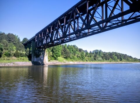
Railroad Bridge
A few bridges help breakup what is otherwise a pretty monolithic landscape.

Big Coal Carrying Barges
A skippers only two jobs are to keep the water out of the boat and the boat off the rocks. To accomplish the latter, good charts are critical. We learned today that not all electronic charting programs are created equal.
Below is a screen shot of a Garmin chart for Aqua Marina in Pickwick Lake. See where the rocks are? Me either.

Garmin: Pretty Lame--Not a Single Depth Reading
Here's the same area of Pickwick Lake shown on a Navionics chart. Ah, I see rocks just to the north of the finger piers. This chart is from a $10 app running on an Android phone. Gotta love it.

Navionics Charts
A short 37 mile day to Iuka, Mississippi. Total miles under the keel is now 1735. DBH