
 |
| (Top) Nautical chart showing the entrance to Reedy Island anchorage. (Bottom) Nellie's view of the entrance. Note the rocks, which are only visible at low tide, radiating out from each end of the entrance. |
Cruising is really quite simple: learn what will kill you and avoid it.
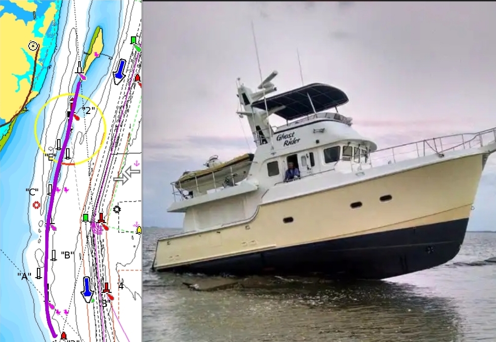 |
| On 9 August 2016, the 47' Nord Haven, Ghost Rider, misread the charts, hit the Reedy Dike (highlighted in purple) and sunk. |
At the northwest end of Delaware Bay is the infamous Reedy Island anchorage. Why infamous? Because getting into the anchorage requires getting past the Reedy Dike, and the Reedy Dike regularly sinks cruising boats. Why? Ah, that's a good question.
Nautical charts exist to keep boats off the rocks. The National Oceanographic and Atmospheric Administration (NOAA) does a great job charting every naturally occurring rock. And there's the rub. Dike's may be a lot of rocks piled together, but they're definitely not naturally occurring. So, instead of the standard rock or reef symbol, NOAA uses two parallel lines to represent a dike. This nuance is lost on most mariners. Furthermore, a pile of rocks by any symbol is just as deadly.
 |
| Miah Maull Shoal Light. |
 |
| Rare as hen's teeth lately is our free dock in Chesapeake City. |
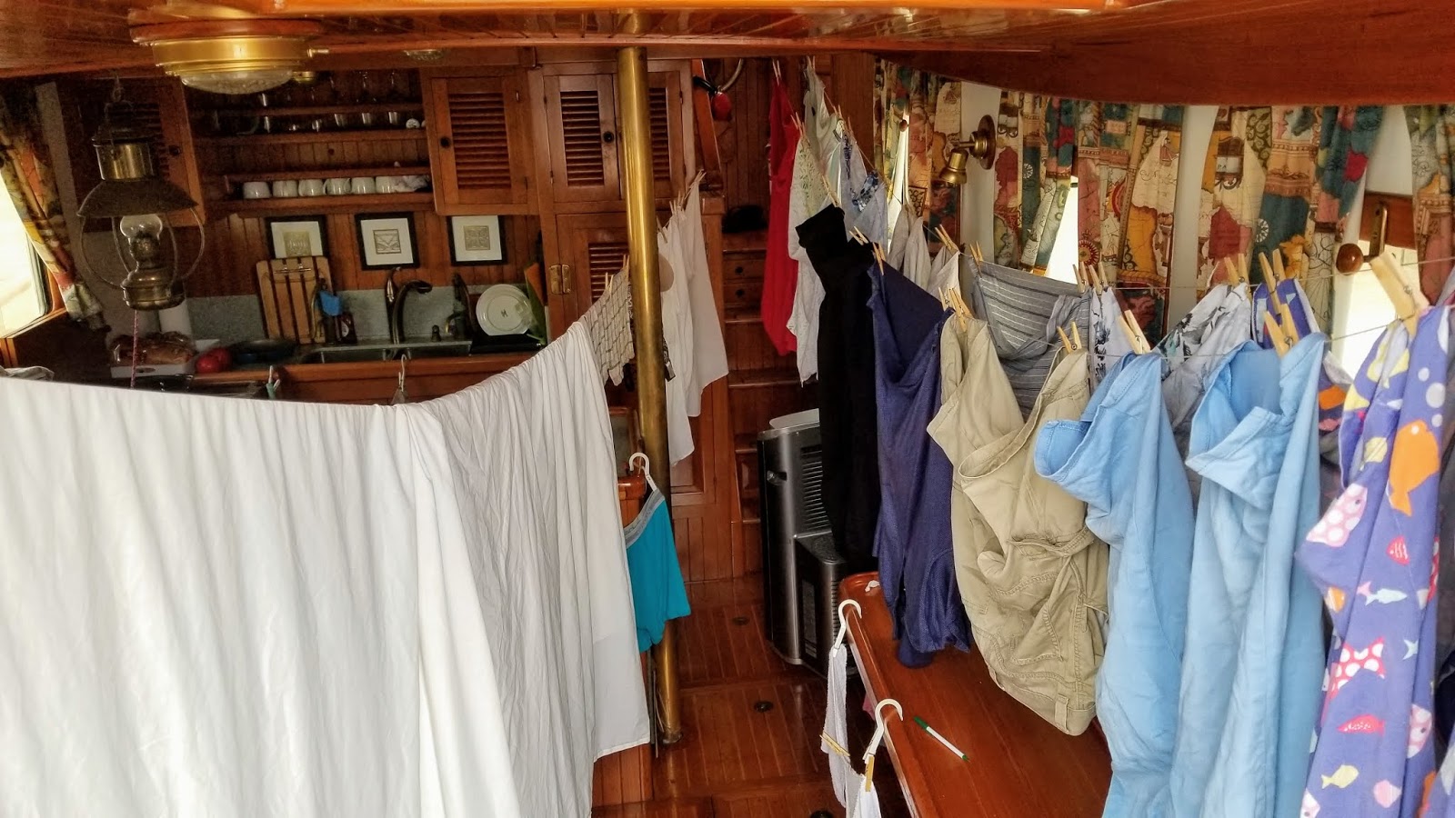 |
| Laundry day aboard Nellie means it's "clean sheet night". |
 |
| All the streets are pretty in Chesapeake City. |
 |
| After exploring all the city's streets I took the OneWheel farther afield. |
 |
| Cape May, NJ to Chesapeake City, MD |
It's nice to be at the dock in Chesapeake City, MD. 73 miles yesterday, 1,498 miles in 2019, 9,733 from Naples, and 11,808 into the Loop. DBH